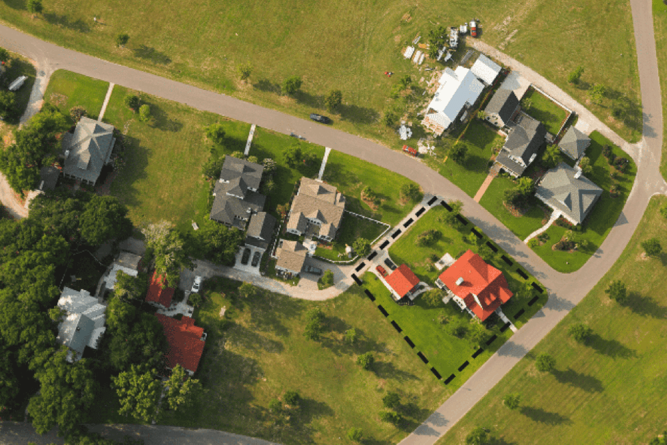
Boundary Surveys
/ Residential Lots
Boundary surveys consists of using the existing recorded legal description to retrace the boundary of the property by locating existing monuments or markers at the corners or along the lines of the parcel, often in the form of iron rods, pipes, concrete markers in the ground or mag nails in concrete or asphalt along with the location of natural monuments such as rivers, trees, fences. A map or plat is then drafted from the field data to provide a representation of the parcel surveyed. It is important to know that many, if not all, problems that arise with owning property could have been discovered through an accurate survey. We always recommend in the purchase of a new piece of property to have a licensed surveyor review the most current deed and give guidance in how to proceed. Boundary surveys are invaluable when buying or selling property, subdividing land into parcels, constructing fences and other improvements, or resolving boundary disputes.